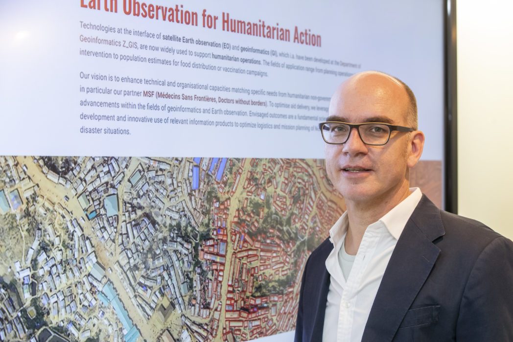
A new Christian Doppler Laboratory (CD Laboratory) was inaugurated on July 8, 2020, at the Department of Geoinformatics – Z_GIS of the Paris Lodron University of Salzburg. Led by Stefan Lang, this CD Laboratory represents a successful collaboration between science and industry, where fundamental research is applied in practice.
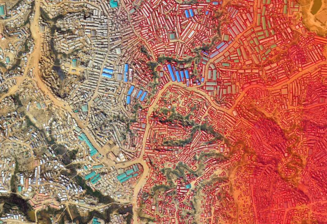
For the first time, a Christian Doppler Laboratory is collaborating with a non-governmental organization (NGO) – Doctors Without Borders. Doctors Without Borders operates in numerous crisis areas in over 70 countries. The situation in these conflict zones is often challenging, with limited access to reliable maps, rapidly changing conditions, and remote areas posing significant challenges to their work. Refugee camps are a prime example, as they are often set up quickly and expand rapidly, resembling entire cities. Assessing the situation is not easy: How many people live in the camps? What is the sanitary condition? Where are the water sources?
Earth Observation for humanitarian purposes
Addressing these and many other questions accurately and promptly is crucial for effective on-site assistance. This is where the new CD Laboratory for geospatial and earth observation-based humanitarian technologies (gEOhum) comes into play. Earth observation technologies, including satellite imagery, can help generate real-time (or near-real-time) information for mapping purposes. A wide range of civilian Earth observation satellites, including those from the European Copernicus program, are utilized to combine the advantages of various techniques. For example, satellite images are supplemented with radar images, which can be acquired even in the absence of daylight or in cloudy conditions. By combining these data with publicly available information like road maps, a comprehensive picture of the region to be mapped can be created. Methods such as artificial intelligence, big data, machine learning, deep learning, and more assist in data extraction, analysis, and preparation. Machine learning and knowledge-based digital image analysis, for instance, improve and automate the interpretation of satellite images.
From data generation to information processing
Three research fields arise from the requirements of Médecins Sans Frontières (Doctors Without Borders) for the Christian Doppler Laboratory:
- Img2Info: Data is extracted from satellite images and transformed into valuable information.
- ConSense: Data from various sources are integrated. It involves evaluating which additional data sources can be useful, analyzing them, and linking them with the information from satellite images.
- Info2Comm: This field focuses on data processing. As the data can be highly complex, it needs to be made understandable and usable for the users, in this case, the staff of Médecins Sans Frontières. Striking a balance between the quick availability of information and the careful and time-consuming data processing is crucial.
Médecins Sans Frontières can utilize the information derived from Earth observation for planning their crisis interventions and assessing the situation on the ground. “It is the perspective from space that allows us to see the bigger picture,” says Stefan Lang, the head of the new CD laboratory and a long-term collaborator of Médecins Sans Frontières.
The scientists in the project team can, for example, estimate the number of people in a refugee camp based on satellite images—a task that would be arduous and time-consuming for the on-site relief team. This allows the team to plan which aid supplies, such as medicine or food, are most urgently needed. Satellite images can also provide valuable support in assessing the situation after natural disasters.
Building a Strong Research Location with WISS
The CEO of Innovation Salzburg, Walter Haas, is delighted about the newly opened CD laboratory: “With WISS and the ICT Master Plan, the state of Salzburg has dedicated itself to research and digitalization. The fact that we have now secured a CD laboratory for Salzburg with our strong focus on geoinformatics shows that our strategy is leading us towards becoming a strong economic and research hub.”
The Christian Doppler Laboratory is jointly funded by the Christian Doppler Society and the partner organization Médecins Sans Frontières (Doctors Without Borders). The budget for seven years of research amounts to approximately one million euros. The state of Salzburg supports the laboratory with a PhD position funded by the state.
That might also interest you
28. May 2026
Joint Research Leads to Patent Application
An important milestone for Salzburg as a research and innovation hub: Salzburg University of Applied Sciences and ABB’s Machine Automation Division (B&R) have jointly filed a patent application in the field of AI-based energy efficiency.
21. May 2026
The Future of Microchip Manufacturing Comes to Salzburg
With the opening of a new competence center for so-called panel-level packaging, Lam Research is sending a strong signal for Salzburg as a technology and research hub.
15. April 2026
From AI to energy: Four Salzburg companies recognised
In 2026, the Salzburg Innovation Award was presented for the first time, introducing a new distinction for particularly innovative companies in the region. The four awarded projects highlight the diversity of innovation in Salzburg – ranging from satellite data and artificial intelligence to recycling technologies and digital energy infrastructure.
12. March 2026
SALZ 2026: Innovation and Technology in Focus – Startups, AI and Future Markets in Salzburg
The SALZ – Festival for Innovation & Technology brought together companies, startups, research institutions and public stakeholders at Messe Salzburg on 11 March 2026. With keynotes, panels, matchmaking and startup pitches, the event provided a platform for emerging technology trends, new collaborations and exchange within the innovation ecosystem.